UN
219 Cowan Way
£ 155,000
Description
We don't have a Description for this property.
- Bedrooms
- 3
- Bathrooms
- 0

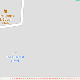
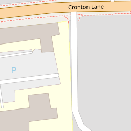
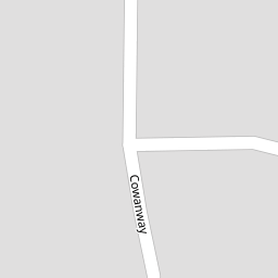

Leaflet © OpenStreetMap contributors
The heatmap indicates the level of crime in the area. The color of the heatmap indicates the crime severity and recency.
Metrics Year-on-Year
- Average area value
- 222,105.00 £Increased by 27.39 %
- Average area rental value
- 751.00 £/moDecreased by 24.90 %
- Est rental Yield
- 4.06 %Decreased by 40.99 %
- Crime Rate
- 30.00 %Unchanged by 0.00 %
from 174,349.00 £
from 1,000.00 £/mo
from 6.88 %
from 30.00 %
Nearby Schools
| Name | Type | Ofsted | Distance |
|---|---|---|---|
| Farnworth Church Of England Controlled Primary School | Voluntary Controlled School | Good | 1.44 KM |
| Birchfield Nursery School | Local Authority Nursery School | Good | 1.55 KM |
| Lunts Heath Primary School | Community School | Outstanding | 1.60 KM |
| Saints Peter And Paul Catholic High School | Voluntary Aided School | Good | 1.76 KM |
| Holy Family Catholic Primary School | Voluntary Aided School | Good | 1.78 KM |
Images
Nearby Streets
| Name | Average Price | Average Sqft | Distance |
|---|---|---|---|
| Lunts Heath Road | £ 0 | 0 | 0.00 KM |
| Newbury Close | £ 0 | 0 | 0.00 KM |
| Holyrood Avenue | £ 385,000 | 0 | 0.00 KM |
| Buckingham Avenue | £ 285,000 | 0 | 0.00 KM |
| Galway Avenue | £ 535,000 | 0 | 0.00 KM |
Nearby Transport
| Name | NLC | TLC | Distance |
|---|---|---|---|
| Widnes | 2391 | WID | 1.59 KM |
| Hough Green | 2303 | HGN | 4.00 KM |
| Rainhill | 2296 | RNH | 4.04 KM |
| Lea Green | 2339 | LEG | 4.63 KM |
| Thatto Heath | 2264 | THH | 5.57 KM |
Nearby Listings
| Address | Price | Type | Score | Distance |
|---|---|---|---|---|
| Cowan Way, Widnes, WA8 | £ 230,000 | BUY | 7 / 10 | 0.01 KM |
| Stratton Park, Widnes, WA8 | £ 700,000 | BUY | Unknown | 0.08 KM |
| Cowan Way, Widnes, WA8 | £ 325,000 | BUY | 7 / 10 | 0.14 KM |
| Cowan Way, Widnes, WA8 | £ 325,000 | BUY | 6 / 10 | 0.15 KM |
| Stratton Park, Widnes, WA8 | £ 525,000 | BUY | 7 / 10 | 0.16 KM |
Nearby Properties
| Address | Price | Distance |
|---|---|---|
| 223 Cowan Way | £ 134,000 | 0.00 KM |
| 217 Cowan Way | £ 177,550 | 0.00 KM |
| 219 Cowan Way | £ 155,000 | 0.00 KM |
| 50 Cronton Lane | £ 75,000 | 0.04 KM |
| 44 Cronton Lane | £ 166,000 | 0.04 KM |